
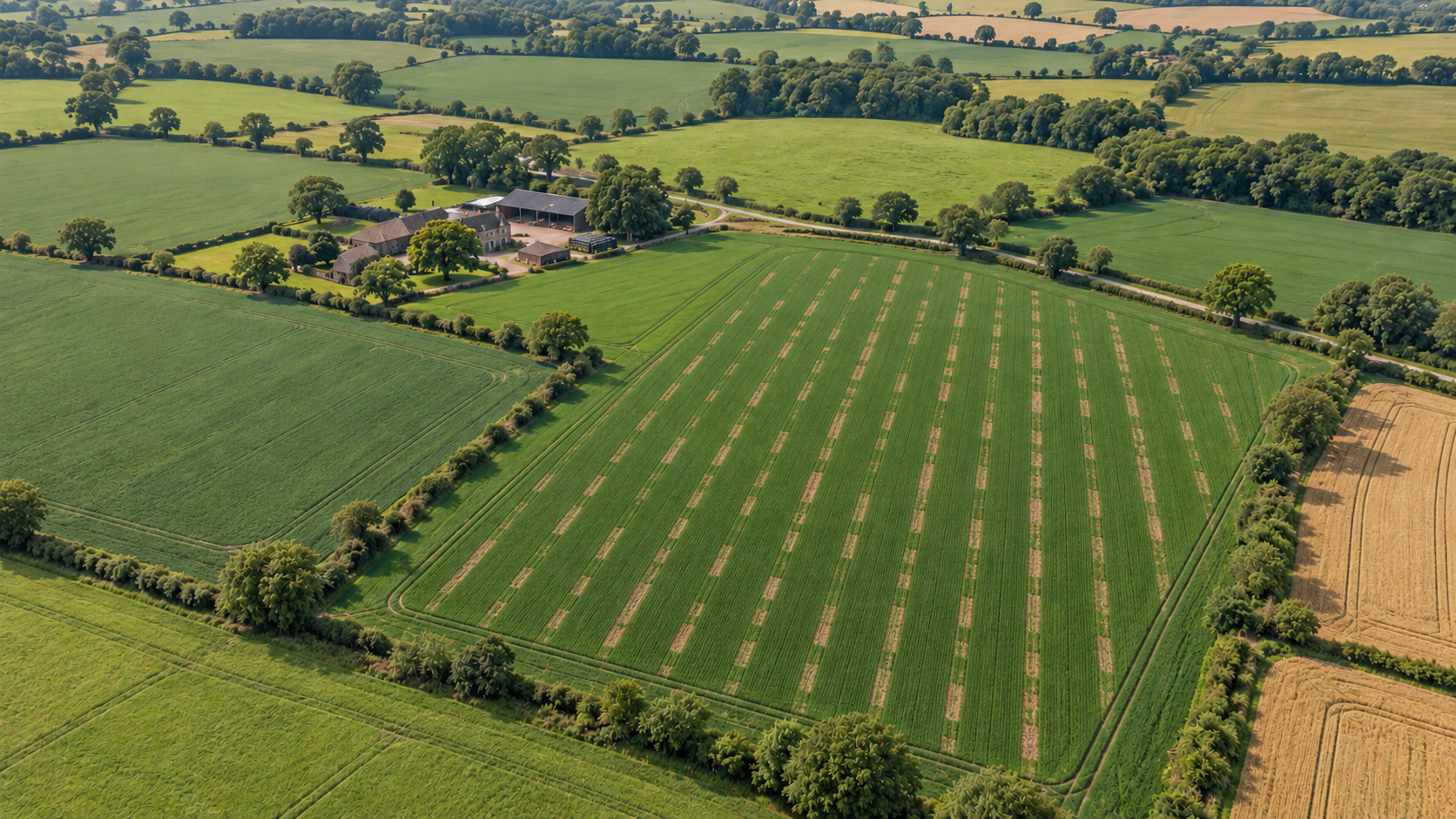
Drone Mapping Reveals Seed Dri…
2.14 acres Area identified for closer assessment DJI Mavic 3M Multispectral Aircraft used to capture the field data One shared evidence base Information to support the farmer and insurer The…
Read More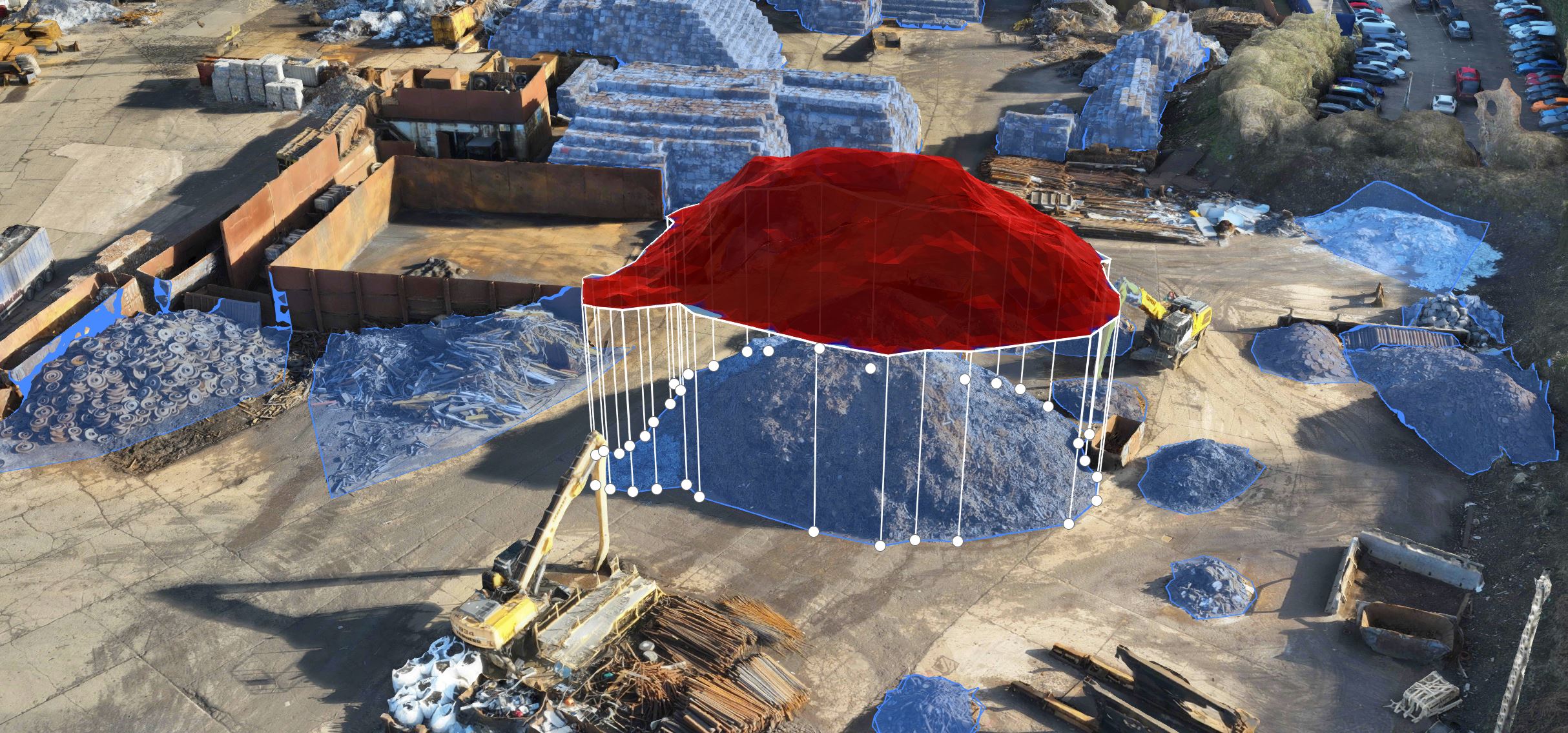
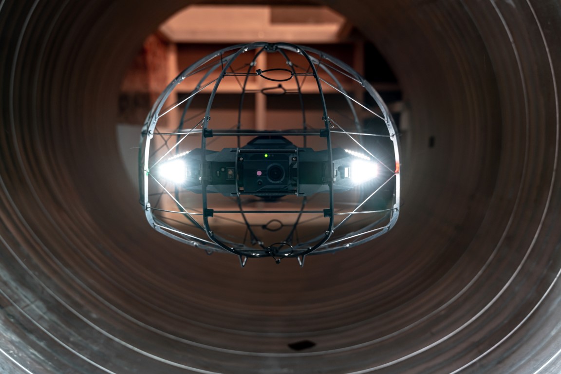
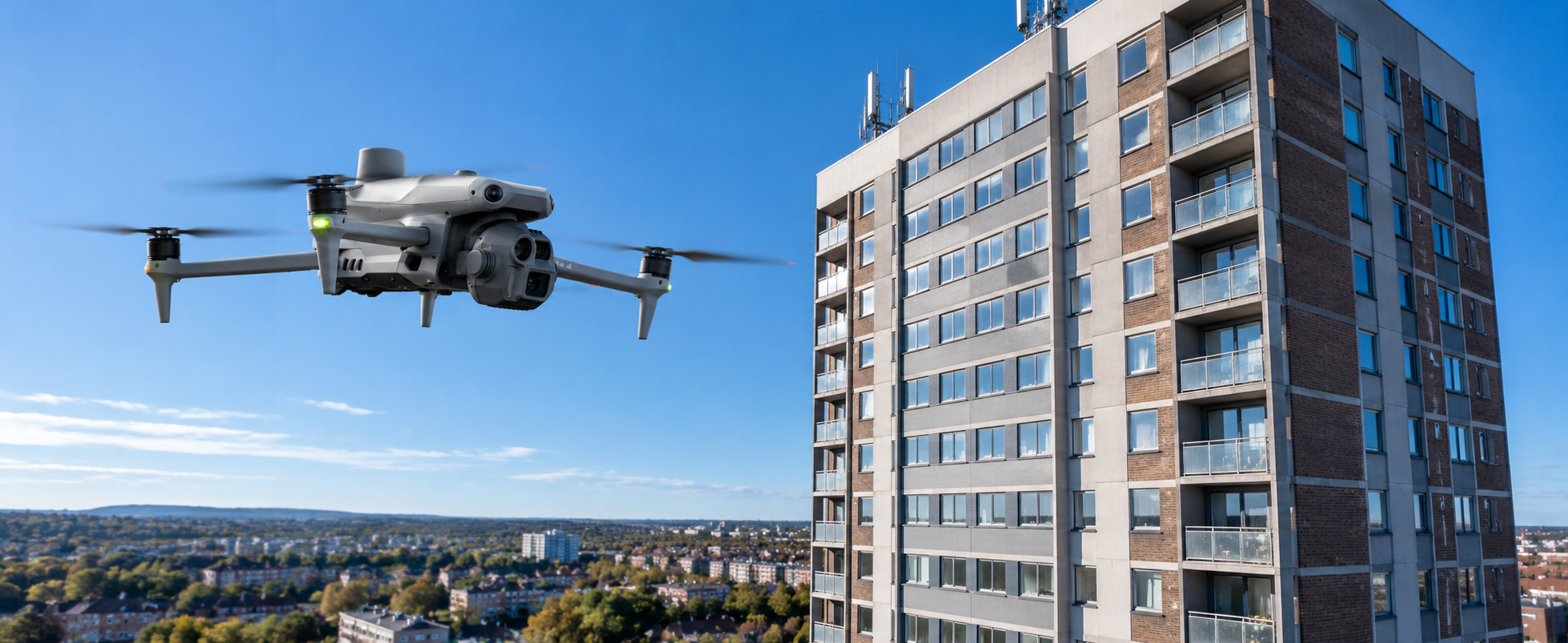

Whatever you need drones to do, there are three ways to work with Iprosurv.
Our pilots carry out the survey or inspection and deliver the data and reports you need.
Accredited courses that give you and your team the skills to fly safely and legally.
The drones, sensors and software to run your own operations, with expert advice.
Tell us what you are trying to achieve and we will recommend the right service, training or equipment.